Geology
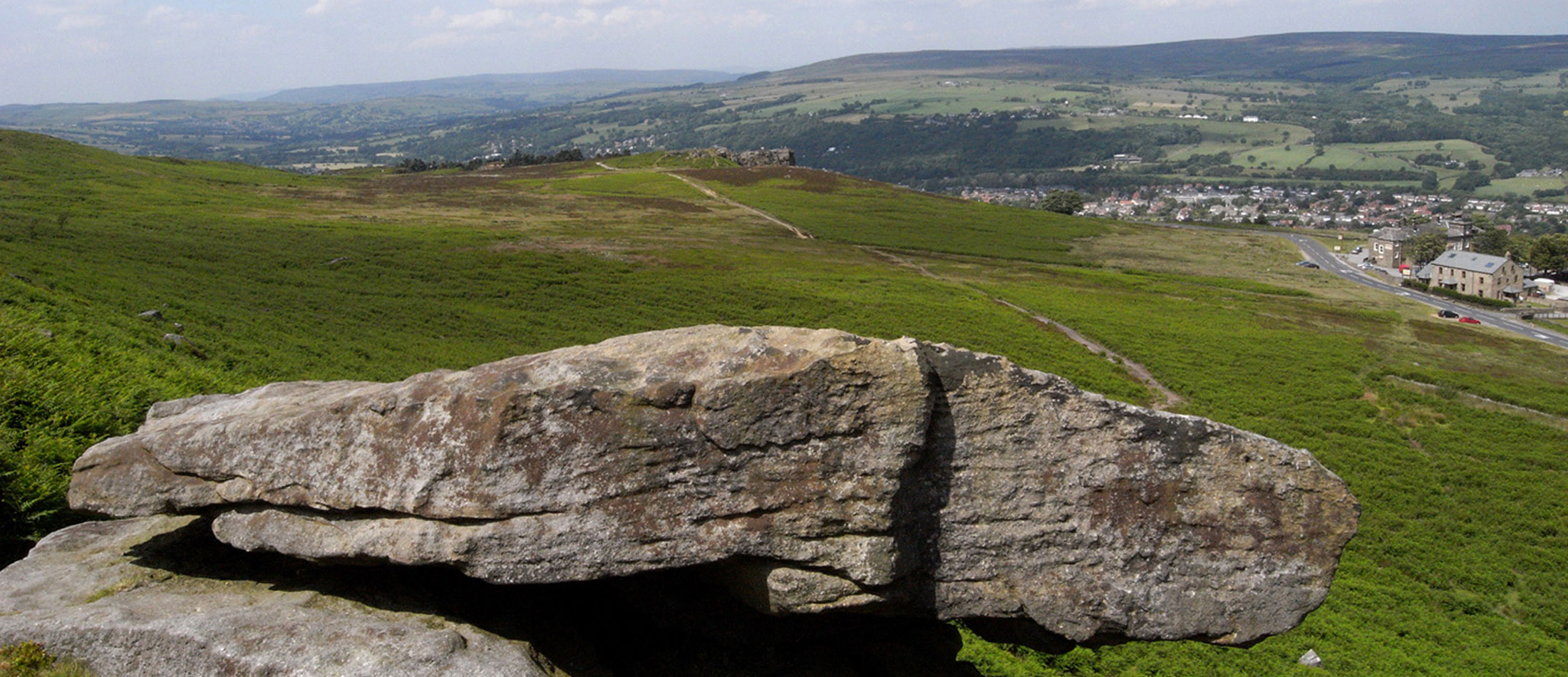
Ilkley Moor is underlain by a succession of alternating coarse-grained sandstones and shales. Its precipitous northern edge overlooks Ilkley and Lower Wharfedale but there are extensive views beyond, especially from the highest part of the moor that rises to 402 metres. The edge is formed by the Addingham Edge Grit, a hard, coarse-grained sandstone, commonly called gritstone, similar to sandstones of the Millstone Grit Group that form escarpments flanking many valleys right across the Pennines. The sand that forms this resistant rock was originally laid down on shifting sandbanks in a great river about 320 million years ago during the Carboniferous Period. Subsequently, the sand was buried by later overlying sediments perhaps to a depth of about 5 kilometers where it was subjected to great overburden pressure and stress from the collision of tectonic plates turning it slowly into hard sandstone. Then, further intermittent earth movements caused uplift and the overlying rocks were slowly removed by wind, water and ice erosion until the sandstone was again exposed at the surface as it is today.
Wharfedale and the other Pennine dales probably started to form by stream and river erosion at least 20 million years ago. However, the main erosive force was probably moving ice acting during a succession of glaciations and culminating in the Last Glaciation which ended about 13,000 years ago; the present topography remains largely as it was when the Ice Age began. At its maximum, about 18,000 – 20,000 years ago, an ice sheet covered the whole north Pennine region including Ilkley Moor. It reached a thickness of about 1,000 metres around the head of Wensleydale and Dentdale and thinned southwards to terminate just south of Bradford. The ice had rock fragments frozen into it and as the ice moved these gouged scratch marks or striations onto the underlying bedrock surface giving a clear indication of the direction of ice movement. Examples of such striations are found at the western edge of Hangingstones Quarry and show that the ice was moving from the west.
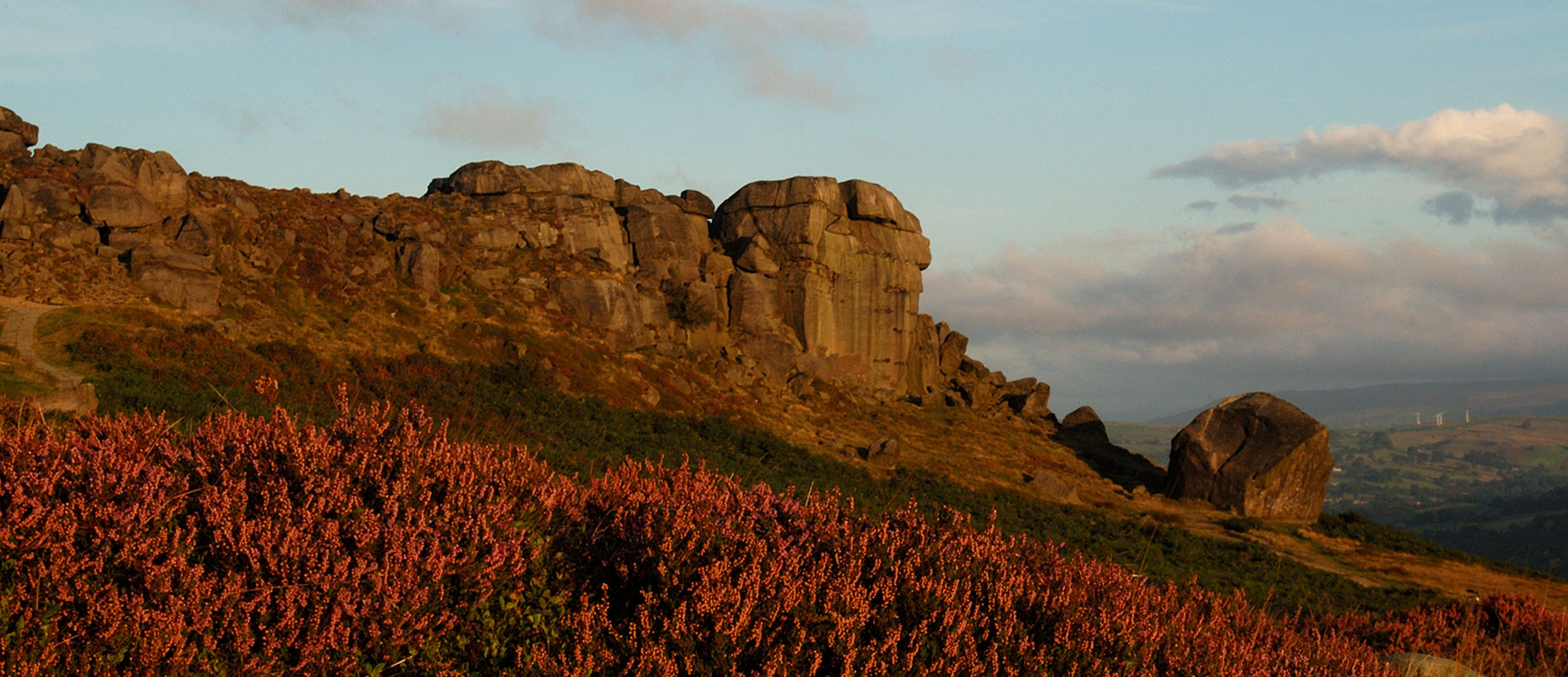
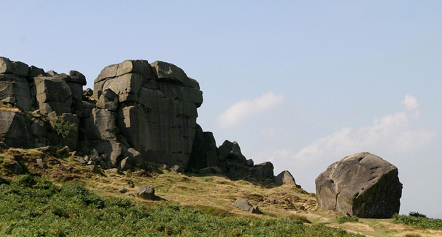
As the ice moved eastwards over the ‘Cow’ rocks, it may have dislodged and incorporated the enormous boulder known as the ‘Calf’. Later, as this enclosing ice melted, the ‘Calf’ was probably gently let down to come to rest in a stable position on the underlying slope. Had it fallen freely off the ‘Cow’ after the ice had melted, it would surely have ended up down where Ben Rhydding now is!
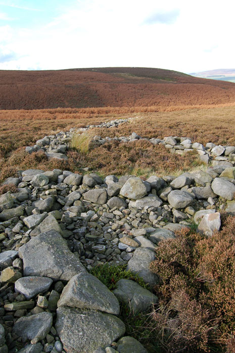
The ice covering Ilkley Moor flanked faster moving ice streams moving down Airedale, and down Wharfedale with a branch diverting through the Guiseley Gap. It is likely that mounds of morainic debris, sand, pebbles and boulders were deposited where these two ice streams abutted against each other. Such mounds are present at Lanshaw Delves and continue sporadically down towards the south-east into Airedale. Limestone debris has been worked in this moraine and can only have been transported by the ice from the upper reaches of the dales since none occurs locally. The ice also left a widespread layer of impermeable clayey till which gave rise to boggy conditions and the extensive development of peat.
During the last ice age, the ground and underlying rocks would have been deeply frozen. The shales, in particular, were left in a softer weakened state when this permafrost melted. The escarpments would then have been susceptible to landslipping as the grits slipped over the underlying waterlogged shales. Rocky hummocky ground occurs in many places below the edges of the moor, as around White Wells for example, marking the presence of these extensive landslips. The most spectacular example occurs at Rocky Valley where a whole section of the moor edge forming the north side of this valley has moved downslope and rotated anticlockwise, presumably on an underlying slip plane.